- PROJECTS
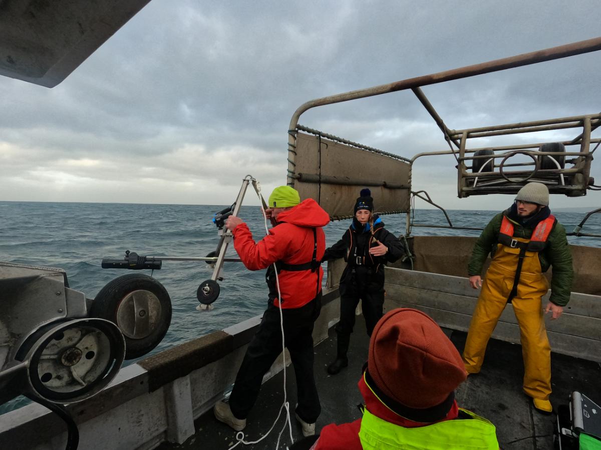
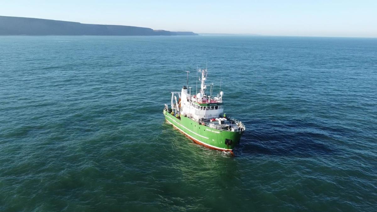
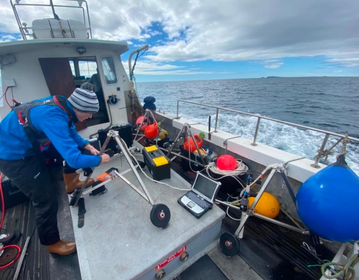
Fisheries Engagement and Conservation Research at the Marine Institute

Client/Partners
Sector
Services
- PROJECT BACKGROUND
- PROJECT OUTCOMES
- Project Services
Explore the range of services we provided for this project:
Biodiversity & Population Assessments
FjordStrong provides a suite of non-destructive tools and methodologies for assessing marine biodiversity, tailored to your requirements. In light of the ongoing biodiversity crisis caused by anthropogenic pressures and climate change, there is an increasing urgency to understand local biodiversity and population dynamics, including demographic trends and biomass estimates. We provide a range of robust, non-destructive biodiversity surveys to suit your needs, providing a rapid and cost-effective alternative to traditional destructive techniques. With an in-house elasmobranch expert team, benthic ecologists and fisheries scientists, our team can work with you to bridging the knowledge gap and taking the first steps towards a better ocean.
Elasmobranch Conservation
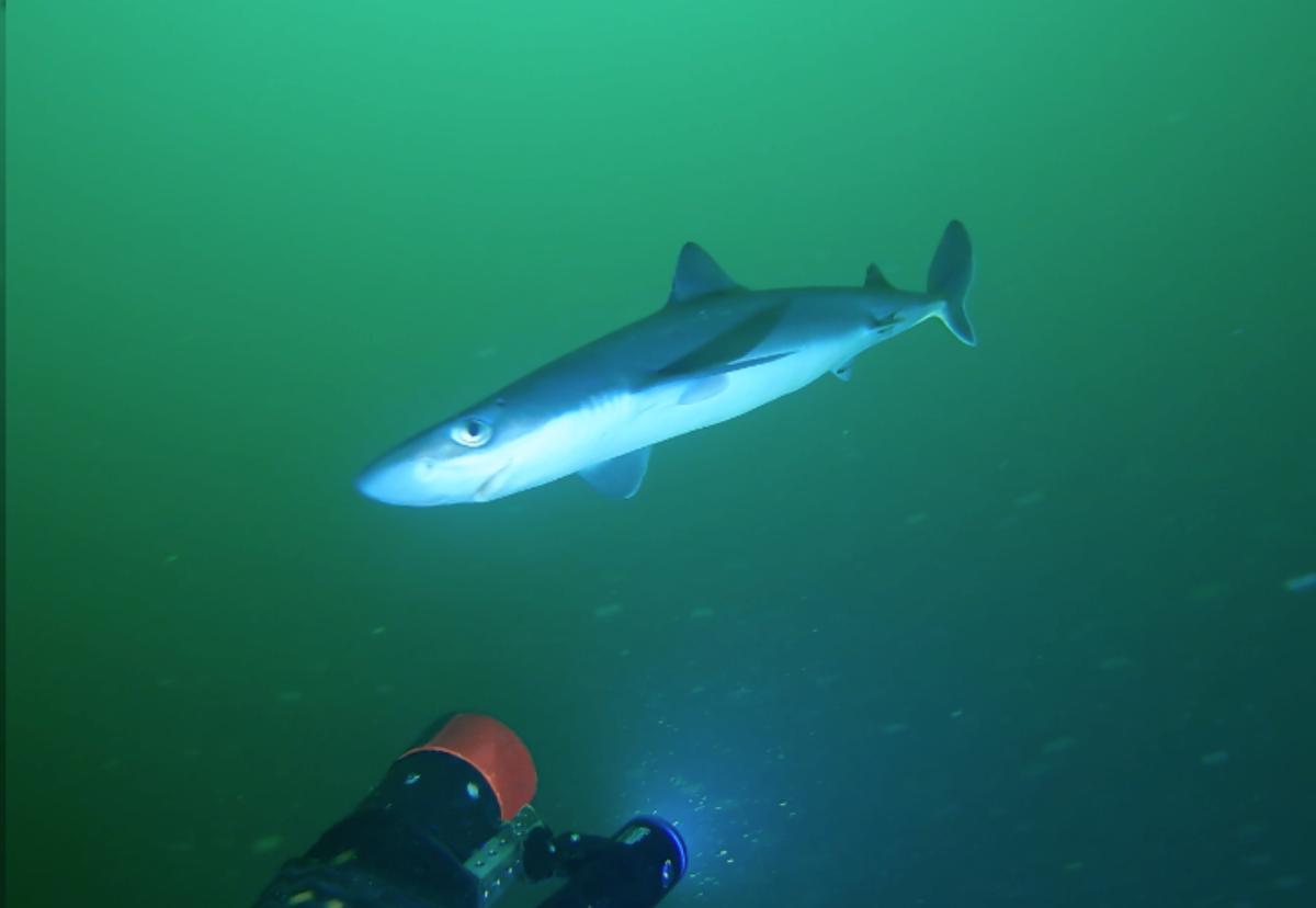
FjordStrong is deeply committed to Elasmobranch Conservation, employing advanced techniques to study and safeguard these vital components of the oceanic web. Drawing on the expertise of the QUB Marine Lab, Regional Flapper Skate Working Group and Elasmobranch Strategy Group, our team comprises specialists in elasmobranch fisheries interactions, bycatch reduction and monitoring, distribution modelling, and acoustic tagging and biotelemetry. Our commitment extends beyond assessment to proactive strategies, ensuring sustainable practices that protect elasmobranch populations and enhance our understanding of these sentinel species and their crucial role in our oceans.
Fisheries Management
FjordStrong’s experienced team excels in delivering comprehensive solutions that harmonise the interests of both industry and conservation for effective Fisheries Management. Proficient in analysing fisheries data, conducting stock assessments, and advising on resource management, our team focuses on collaborative solutions. FjordStrong offers zero-impact tools that not only complement current methods but also aim to replace more destructive approaches, thereby enhancing the sustainability of fisheries.
Stakeholder Engagement and Outreach
Building strong relationships with stakeholders is essential for successful environmental projects. FjordStrong understands the significance of Stakeholder Engagement and Outreach, offering tailored strategies to find and connect with diverse stakeholders, from local communities to regulatory bodies. Our team fosters collaboration, ensuring that projects align with community values and regulatory expectations. At FjordStrong, we have a track record of setting up working groups and a strong network of stakeholders, fostering lasting relationships that contribute to the success of environmental initiatives.
- RELATED PROJECTS


