Ports, Harbours & Marinas
Supporting coastal infrastructure in sustainable blue growth through bespoke survey solutions and stakeholder engagement.
- What WE OFFER
At FjordStrong, we recognize that managing ports, harbors, and marinas can be a complex challenge with competing stakeholders and priorities. In this demanding environment, transparency is critical. Our compact solutions and expertise serve as a valuable platform for informing policy-level decision-making, while demonstrating your commitment to sustainability and biodiversity through engaging video data, ideal for outreach and stakeholder involvement. We assist in project design, data collection, and analysis, providing context-specific reporting and advice. Whether you’re assessing the potential biodiversity effects of infrastructure expansions, dredging operations, or sustainability initiatives, FjordStrong is here to support the successful delivery of your project.
- Why Choose Us?
Sustainable Surveys
Our commitment to zero-impact and low-carbon methods ensures your project remains at the forefront of the drive towards sustainability.
University-Backed Expertise
As a commercial spinout from QUB, our evidence-based approach benefits from ready access to University resources and additional expertise.
Comprehensive Support
From project inception to completion, our team will guide your project to success, with a proven track record of delivering on budget and on time.
Rapid & Cost-Effective Surveys
Our focus on innovative video-based solutions offers swift and affordable results, saving time and costs compared to traditional surveys.
Bespoke and Portable
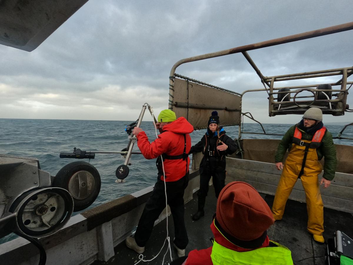
Deployable from small boats and designed for fast currents and moderate visibility, our solutions tackle challenging areas such as MPAs and OWFs.
Data Souvenirs
Benefit from secure digital records to unlock project potential through enhanced QC, data repurposing and impactful visual dissemination.
- Related Services
Explore the tailored services we provide for Port Harbours & Marinas.
Stereo Baited Remote Underwater Video (BRUV)
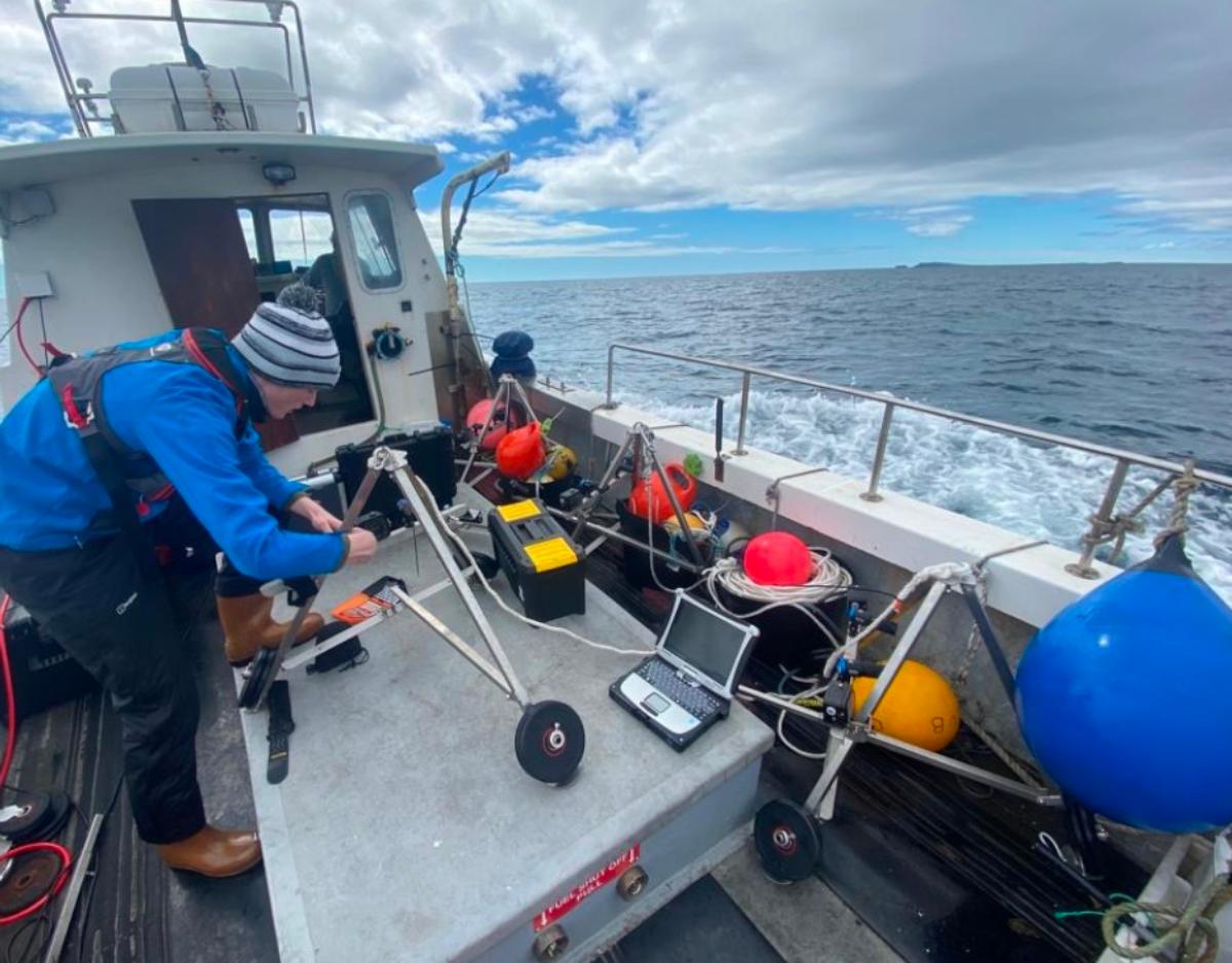
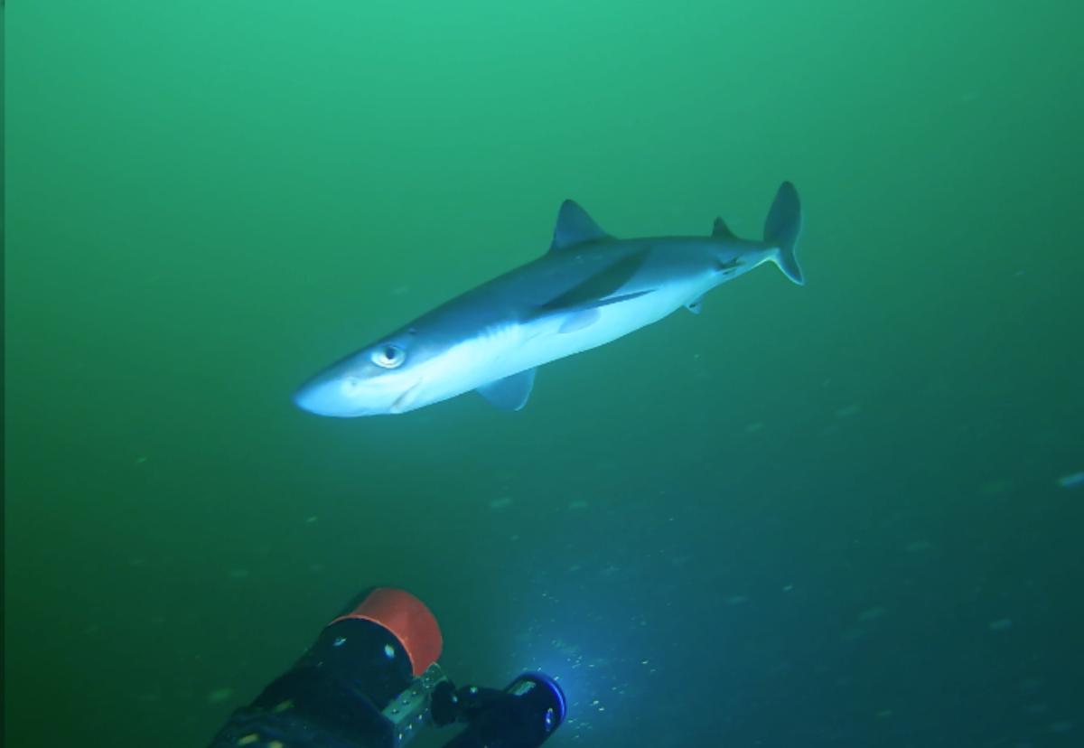
Using bait to attract wide-roaming wildlife into the survey platform, our bespoke Baited Remote Underwater Video (BRUV) systems are tailored to perform under the high current speeds encountered in the North East Atlantic. Rated to a depth of 250 meters, they are a rapid and cost effective tool for surveying marine biodiversity, with dual independent lights facilitating round the clock surveying.
Our stereo-imaging techniques are optimised for moderate turbidity levels, allowing our analysts to take accurate measurements through a technique known as photogrammetry without removing specimens from their habitat. Covering both the demersal and pelagic regions, our BRUVs can provide reliable data on:
- Species Inventories
- Accurate Measurements and Biomass Estimates
- Relative Abundances
- Species Interactions
- Temporal Changes and Patterns
- Growth Rates and Overall Condition
Habitat Classification & Biotope Mapping
At FjordStrong, our expertise covers taxonomic identification of species and communities, alongside characterisation of the abiotic and physical environment they live in using nationally recognised classification protocols such as JNCC and EUNIS. By collecting data using non-destructive methods such as ROVs and tow-fish cameras, we can systematically identify, predict and compare habitat distribution and ecosystems using a standardised methodology, while preserving the integrity of the area. Such knowledge underpins MPA monitoring, assessing conservation-value of sites, and licensing of industry activities.
Oceanographic & Environmental Measurements
Climate change is already impacting the environmental conditions in the ocean which in turn has seen changes in ecosystems, species, habitats, tourism, coastal communities and fisheries. Understanding our oceans, and the variables that affect our oceans’ biodiversity are fundamental for protecting and supporting recovery. Accurate and reliable environmental data facilitates understanding and monitoring the drivers of change. At FjordStong, we have the flexibility to integrate a full suite of oceanographic and environmental measurements into your project, including temperature, dissolved oxygen, pH and turbidity.
Invasive Species Detection & Monitoring
Invasive species have the potential to be a major threat to marine ecosystems, biodiversity, as well as economic and societal implications. The balance of the marine world is fragile, even the smallest external factor can disrupt an entire ecosystem. At FjordStrong we understand the necessity to gather scientific information on invasive marine species and assess any perceived risks before the impact is irreversible. Our team have a strong taxonomic background, allowing us to accurately identify native and non-native species while assessing their potential for invasiveness. Additionally we can provide abundance estimates, habitat preference, potential impact and ultimately monitor and provide mitigation plans if required.
Decommissioning Assessments
Marine infrastructure, such as oil and gas platforms and offshore wind turbines, have the potential to boost local productivity and biodiversity through the addition of hard substrata and the provision of complex 3D habitats for various life stages of marine wildlife. This is especially true when situated in oligotrophic and homogenous habitats. Efforts to understand and quantify the associated ecological value are therefore necessary for informing the wide range of possible decommissioning strategies, and choosing the most appropriate and ecologically robust decision. At FjordStrong our expert team can assist in quantifying and assessing both current and future scenarios using zero-impact techniques that leave no trace, supporting life after death for marine infrastructure projects.
Stakeholder Engagement and Outreach
Building strong relationships with stakeholders is essential for successful environmental projects. FjordStrong understands the significance of Stakeholder Engagement and Outreach, offering tailored strategies to find and connect with diverse stakeholders, from local communities to regulatory bodies. Our team fosters collaboration, ensuring that projects align with community values and regulatory expectations. At FjordStrong, we have a track record of setting up working groups and a strong network of stakeholders, fostering lasting relationships that contribute to the success of environmental initiatives.
GIS Mapping
Geographic Information System (GIS) mapping is a powerful tool for visualising and analysing spatial data in marine environments. Our expert team leverages our experience, technical expertise, and domain knowledge to create customised maps tailored to your specific needs, facilitating a deeper understanding of spatial relationships and supporting informed environmental management strategies. Get in touch to see how FjordStrong can combine biodiversity data and geospatial information to provide precise GIS mapping solutions that elevate the effectiveness of your marine projects.
Nature Based Solutions
Nature-based solutions present a holistic strategy for tackling environmental challenges, and FjordStrong is committed to incorporating these solutions into marine consultancy. Our team understands the inherent potential of nature-based solutions in cultivating resilience and sustainability in the marine environment and harnessing nature to address both the climate and biodiversity crisis. At FjordStrong, we can integrate nature-based solutions into your unique project needs, from habitat restoration to sustainable blue growth. By taking inspiration from nature, mitigation and adaptive strategies can not only safeguard marine biodiversity, but human well-being and enhance industry sustainability.
- RELATED PROJECTS
