Marine Surveys
- WHAT WE OFFER
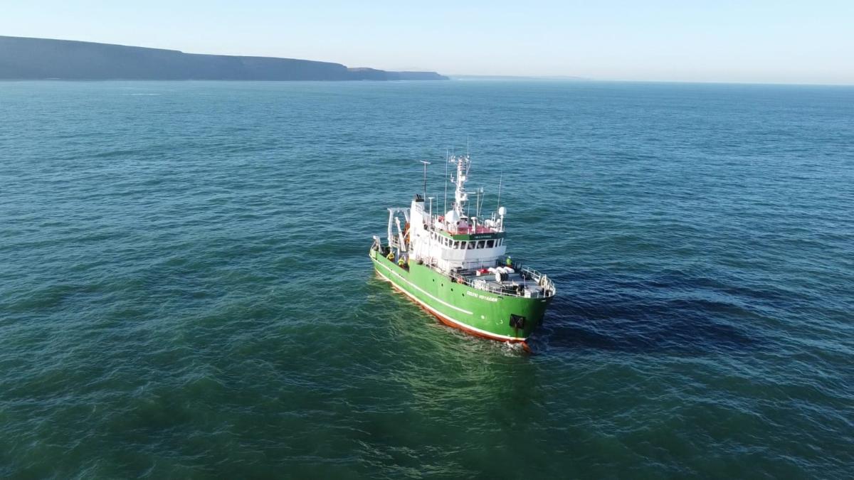
FjordStrong offers a wide range of zero-impact survey solutions from baseline ecological surveys through to comprehensive monitoring programs. We are open to collaborations, partnerships and commercial projects that share our dedication to sustainable blue growth with a focus on marine biodiversity. Our expert team will manage the logistics and intricacies of marine work, using our science-backed, rapid and cost-effective approaches to deliver reliable results and bespoke reports to address your specific challenges.
- TYPES OF SERVICES
Decommissioning Assessments
Marine infrastructure, such as oil and gas platforms and offshore wind turbines, have the potential to boost local productivity and biodiversity through the addition of hard substrata and the provision of complex 3D habitats for various life stages of marine wildlife. This is especially true when situated in oligotrophic and homogenous habitats. Efforts to understand and quantify the associated ecological value are therefore necessary for informing the wide range of possible decommissioning strategies, and choosing the most appropriate and ecologically robust decision. At FjordStrong our expert team can assist in quantifying and assessing both current and future scenarios using zero-impact techniques that leave no trace, supporting life after death for marine infrastructure projects.
Invasive Species Detection & Monitoring
Invasive species have the potential to be a major threat to marine ecosystems, biodiversity, as well as economic and societal implications. The balance of the marine world is fragile, even the smallest external factor can disrupt an entire ecosystem. At FjordStrong we understand the necessity to gather scientific information on invasive marine species and assess any perceived risks before the impact is irreversible. Our team have a strong taxonomic background, allowing us to accurately identify native and non-native species while assessing their potential for invasiveness. Additionally we can provide abundance estimates, habitat preference, potential impact and ultimately monitor and provide mitigation plans if required.
Oceanographic & Environmental Measurements
Climate change is already impacting the environmental conditions in the ocean which in turn has seen changes in ecosystems, species, habitats, tourism, coastal communities and fisheries. Understanding our oceans, and the variables that affect our oceans’ biodiversity are fundamental for protecting and supporting recovery. Accurate and reliable environmental data facilitates understanding and monitoring the drivers of change. At FjordStong, we have the flexibility to integrate a full suite of oceanographic and environmental measurements into your project, including temperature, dissolved oxygen, pH and turbidity.
Biodiversity & Population Assessments
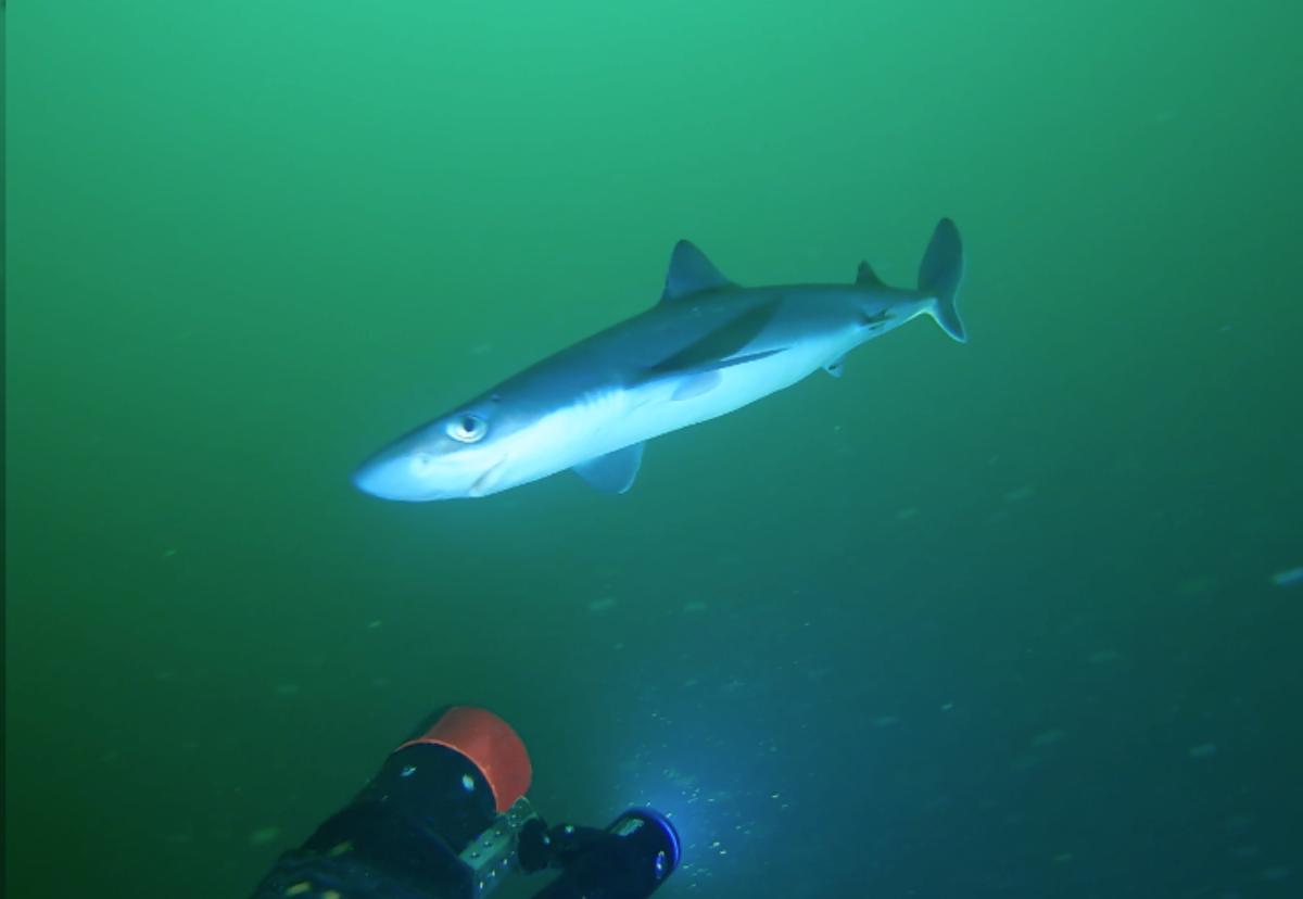
FjordStrong provides a suite of non-destructive tools and methodologies for assessing marine biodiversity, tailored to your requirements. In light of the ongoing biodiversity crisis caused by anthropogenic pressures and climate change, there is an increasing urgency to understand local biodiversity and population dynamics, including demographic trends and biomass estimates. We provide a range of robust, non-destructive biodiversity surveys to suit your needs, providing a rapid and cost-effective alternative to traditional destructive techniques. With an in-house elasmobranch expert team, benthic ecologists and fisheries scientists, our team can work with you to bridging the knowledge gap and taking the first steps towards a better ocean.
Habitat Classification & Biotope Mapping
At FjordStrong, our expertise covers taxonomic identification of species and communities, alongside characterisation of the abiotic and physical environment they live in using nationally recognised classification protocols such as JNCC and EUNIS. By collecting data using non-destructive methods such as ROVs and tow-fish cameras, we can systematically identify, predict and compare habitat distribution and ecosystems using a standardised methodology, while preserving the integrity of the area. Such knowledge underpins MPA monitoring, assessing conservation-value of sites, and licensing of industry activities.
Underwater 3D Photogrammetry
FjordStrong provides an affordable, zero-impact, reliable solution for measurements of marine specimens in-situ. Using our stereo-imaging cameras, specifically designed to perform in areas of moderate turbidity such as the North East Atlantic, our analysts generate 3D point clouds of the target. With a proven high accuracy at ranges up to 6 metres we offer our clients non-extractive in-situ tool as an alternative to other destructive, lethal and costly methods. Reliable measurements of wildlife can be converted into biomass estimates, condition factors, and determination of developmental stages. Similarly, multi-annual measurements can be used to estimate growth rates, ideal for fragile species such as hard corals.
Consenting Process
Fjordstrong aims to complement human activities with the natural world, striving for a healthier, more resilient marine environment in balance with prosperous Blue Growth. Comprehensive planning from the beginning not only leads to cost savings but also improves the quality of the outcome for the environment the client and stakeholders alike. Navigating the consenting requirements successfully is a challenging process that requires meticulous assessments. FjordStrong’s team are here to help you, expediting the process with our experience preparing EIAs (Environmental Impact Assessments), Ecological Impact Assessment (EcIA), HRAs (Habitat Regulation Assessments) and LSE assessments (Likely
Significant Effect) for proposed projects.
From desk-based assessments to in-situ data collection, our services can help expedite the consenting process, while identifying hidden challenges and proposing mitigation strategies. Our commitment to zero-impact methodologies ensures your project remains at the forefront of the drive towards sustainability.
Baseline Survey
We understand our client’s need for robust baseline data as a foundation for the future success of their objectives. Whether it serves as a basis for monitoring the impact of planned infrastructure or the introduction of new management measures, our track record spans diverse marine settings from open ocean to shallow coastal waters and estuaries. Our expert team are committed to using environmentally-friendly, non-destructive and non- extractive methods to generate the data required for the success of your project, from biodiversity indices to oceanographic data. We offer comprehensive support, including survey design, logistical coordination, meticulous data collection, in-depth analysis, and expert report preparation.
Stereo Baited Remote Underwater Video (BRUV)
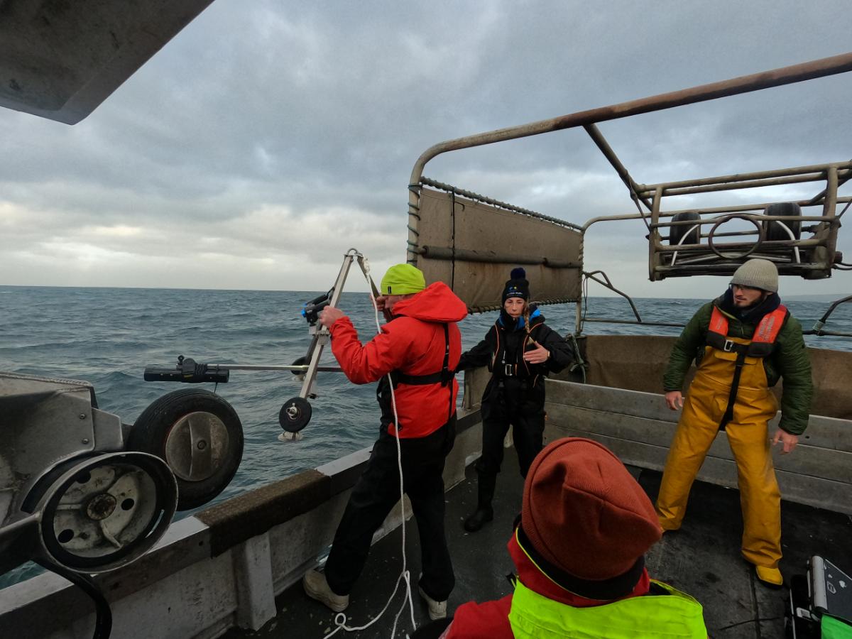
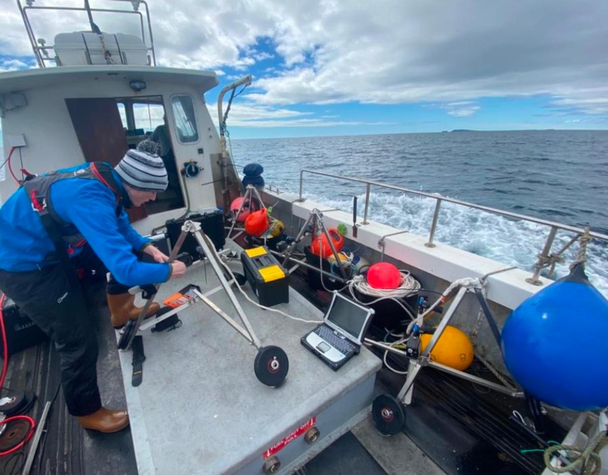
Using bait to attract wide-roaming wildlife into the survey platform, our bespoke Baited Remote Underwater Video (BRUV) systems are tailored to perform under the high current speeds encountered in the North East Atlantic. Rated to a depth of 250 meters, they are a rapid and cost effective tool for surveying marine biodiversity, with dual independent lights facilitating round the clock surveying.
Our stereo-imaging techniques are optimised for moderate turbidity levels, allowing our analysts to take accurate measurements through a technique known as photogrammetry without removing specimens from their habitat. Covering both the demersal and pelagic regions, our BRUVs can provide reliable data on:
- Species Inventories
- Accurate Measurements and Biomass Estimates
- Relative Abundances
- Species Interactions
- Temporal Changes and Patterns
- Growth Rates and Overall Condition
- RELATED PROJECTS
