Media Outreach
Raising awareness and inspiring hope with compelling underwater wildlife media.
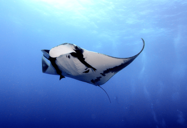
- What WE OFFER
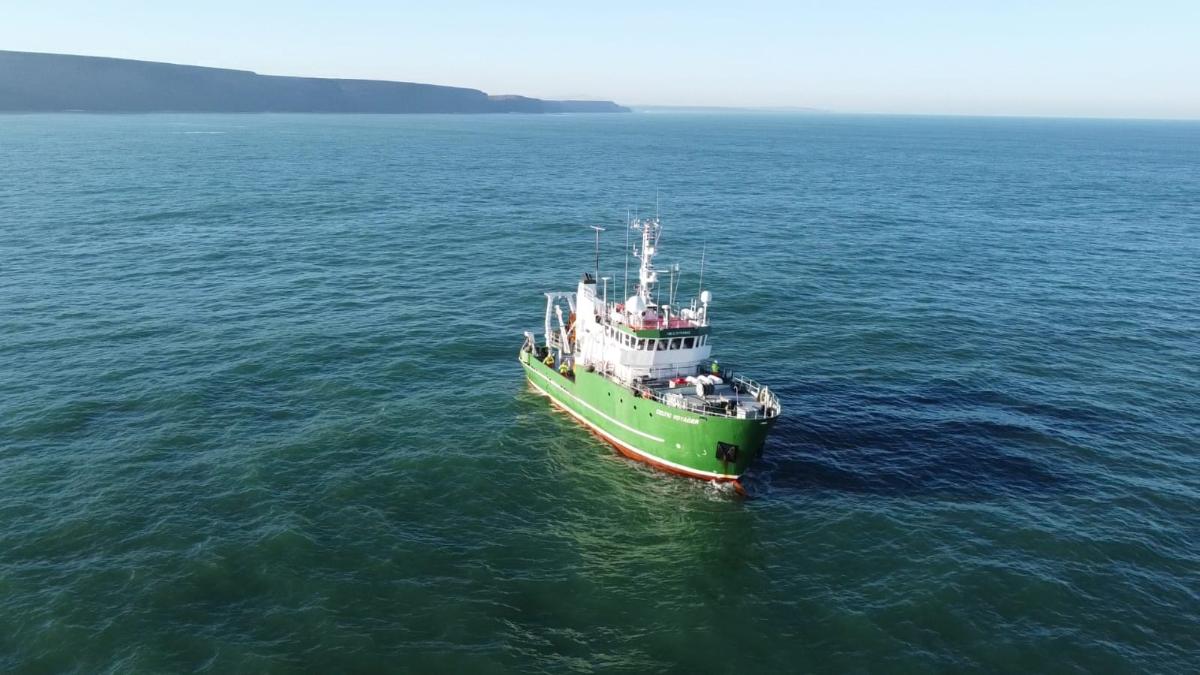
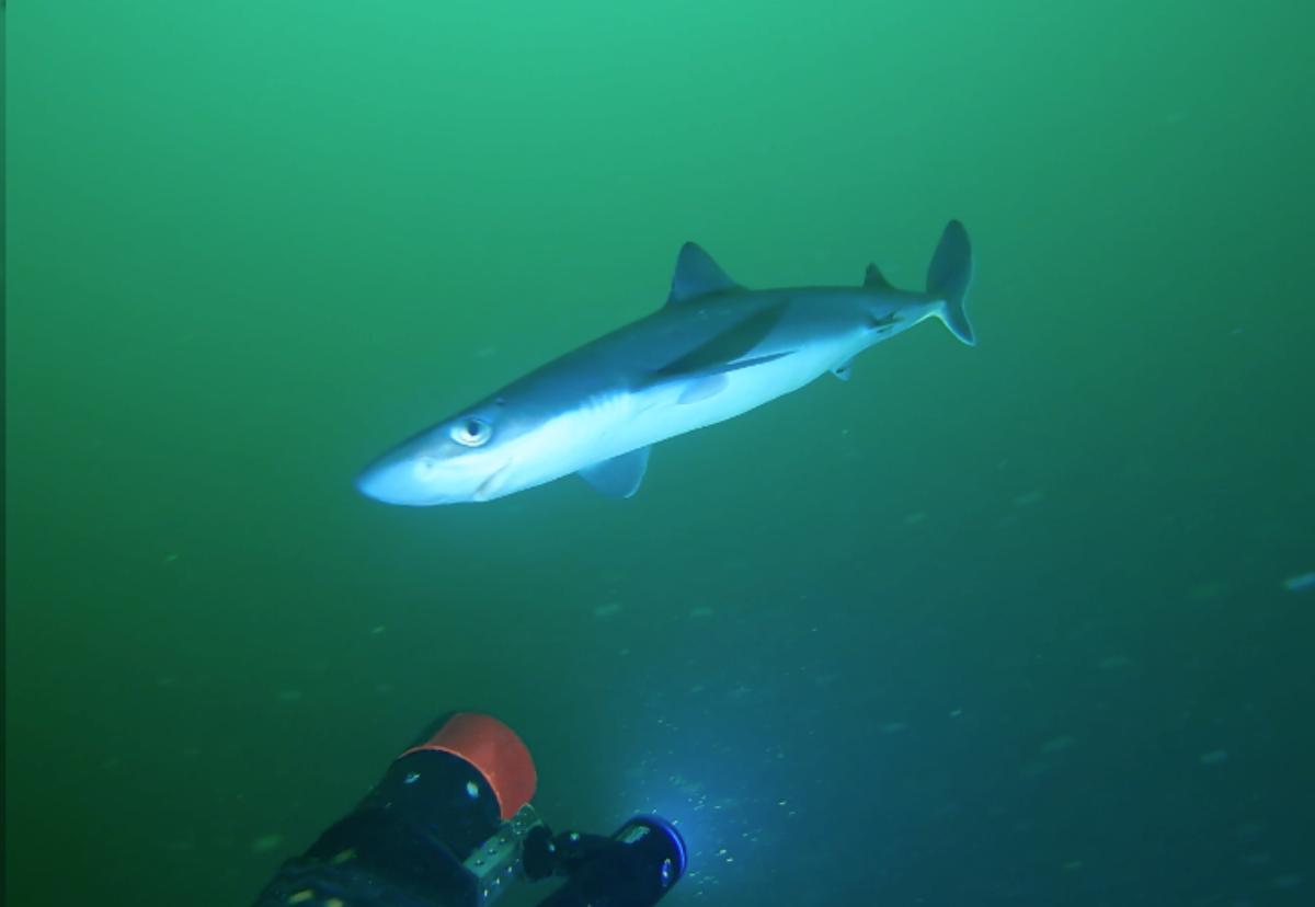
With a focus on video-data collection and an ethos built on industry leading ocean stewardship, we is proud to offer our services in obtaining and sharing ethical underwater wildlife imagery for dissemination in the interests of public awareness. With a successful track record assisting both the BBC and RTE, our equipment and team are ready to assist you, capturing visual outputs that can turn a good news story into a great news story.
- Why Choose Us?
Sustainable Surveys
Our commitment to zero-impact and low-carbon methods ensures your project remains at the forefront of the drive towards sustainability.
University-Backed Expertise
As a commercial spinout from QUB, our evidence-based approach benefits from ready access to University resources and additional expertise.
Comprehensive Support
From project inception to completion, our team will guide your project to success, with a proven track record of delivering on budget and on time.
Rapid & Cost-Effective Surveys
Our focus on innovative video-based solutions offers swift and affordable results, saving time and costs compared to traditional surveys.
Bespoke and Portable
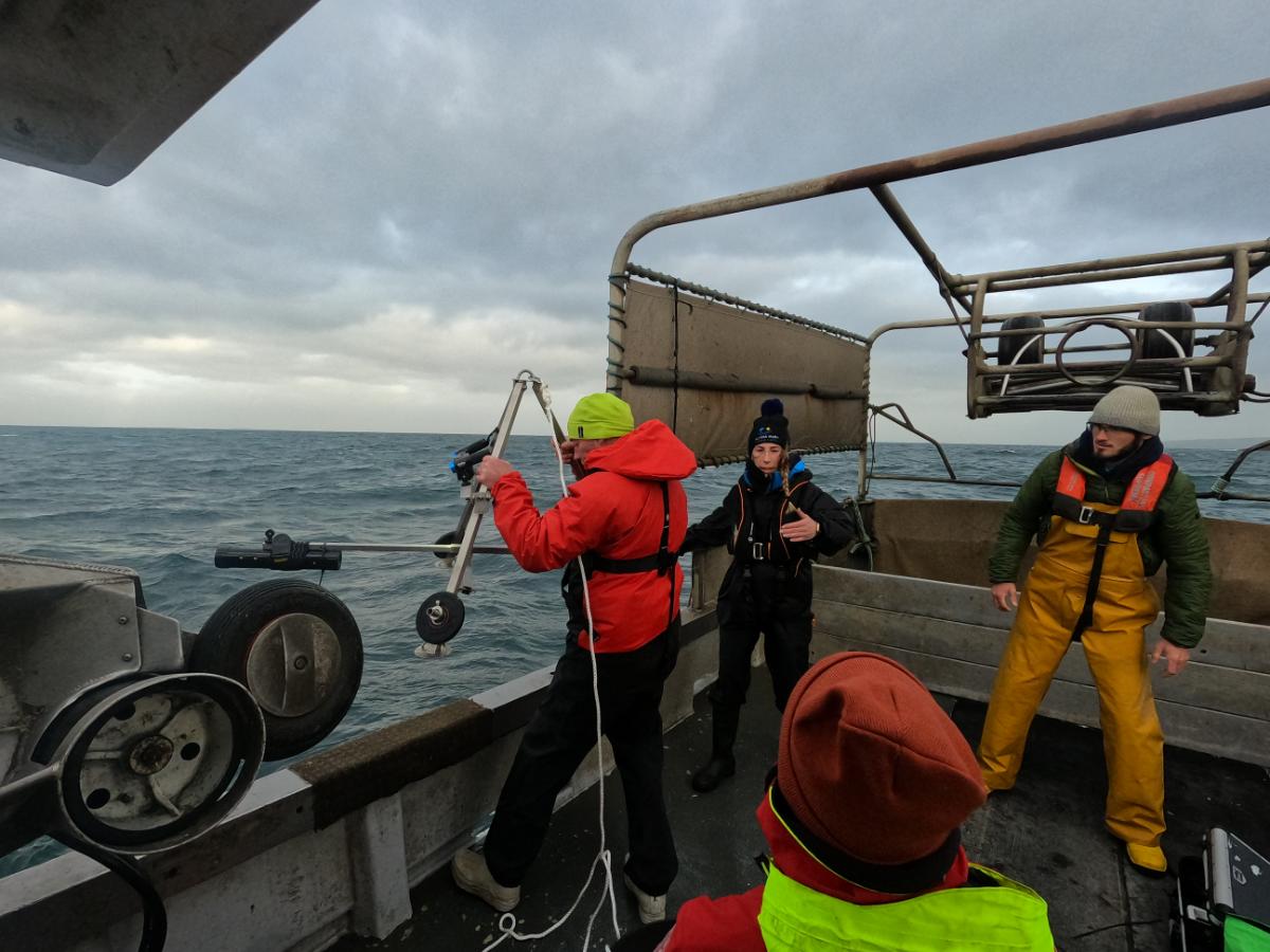
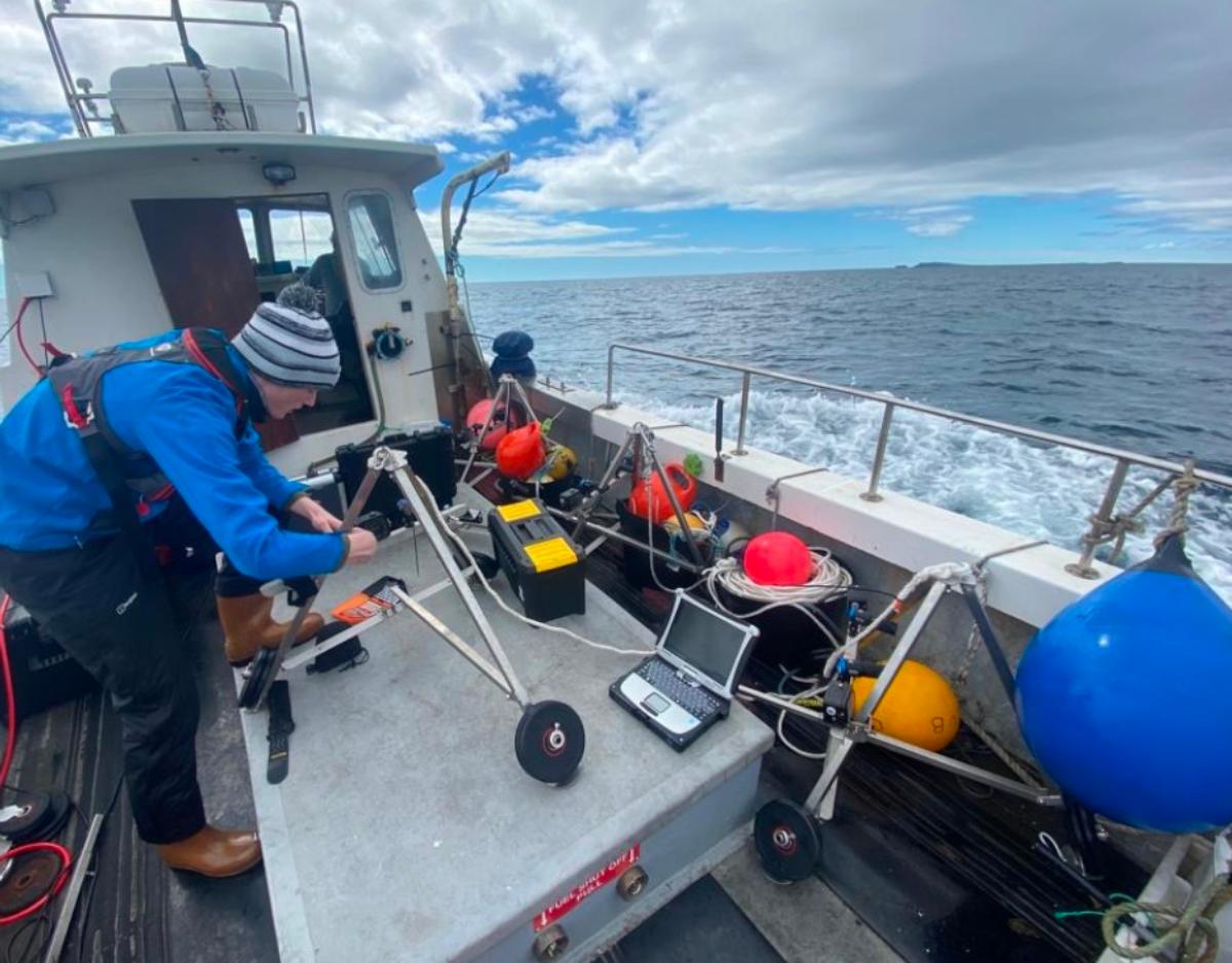
Deployable from small boats and designed for fast currents and moderate visibility, our solutions tackle challenging areas such as MPAs and OWFs.
Data Souvenirs
Benefit from secure digital records to unlock project potential through enhanced QC, data repurposing and impactful visual dissemination.
- Related Services
Explore the tailored services we provide for Media Outreach.
Stereo Baited Remote Underwater Video (BRUV)
Using bait to attract wide-roaming wildlife into the survey platform, our bespoke Baited Remote Underwater Video (BRUV) systems are tailored to perform under the high current speeds encountered in the North East Atlantic. Rated to a depth of 250 meters, they are a rapid and cost effective tool for surveying marine biodiversity, with dual independent lights facilitating round the clock surveying.
Our stereo-imaging techniques are optimised for moderate turbidity levels, allowing our analysts to take accurate measurements through a technique known as photogrammetry without removing specimens from their habitat. Covering both the demersal and pelagic regions, our BRUVs can provide reliable data on:
- Species Inventories
- Accurate Measurements and Biomass Estimates
- Relative Abundances
- Species Interactions
- Temporal Changes and Patterns
- Growth Rates and Overall Condition
Elasmobranch Conservation
FjordStrong is deeply committed to Elasmobranch Conservation, employing advanced techniques to study and safeguard these vital components of the oceanic web. Drawing on the expertise of the QUB Marine Lab, Regional Flapper Skate Working Group and Elasmobranch Strategy Group, our team comprises specialists in elasmobranch fisheries interactions, bycatch reduction and monitoring, distribution modelling, and acoustic tagging and biotelemetry. Our commitment extends beyond assessment to proactive strategies, ensuring sustainable practices that protect elasmobranch populations and enhance our understanding of these sentinel species and their crucial role in our oceans.
Stakeholder Engagement and Outreach
Building strong relationships with stakeholders is essential for successful environmental projects. FjordStrong understands the significance of Stakeholder Engagement and Outreach, offering tailored strategies to find and connect with diverse stakeholders, from local communities to regulatory bodies. Our team fosters collaboration, ensuring that projects align with community values and regulatory expectations. At FjordStrong, we have a track record of setting up working groups and a strong network of stakeholders, fostering lasting relationships that contribute to the success of environmental initiatives.
Data Quality Assurance and Cleaning
Reliable data is the cornerstone of effective environmental assessments and decision making. FjordStrong specialises in Data Quality Assurance and Cleaning, employing rigorous processes to ensure the accuracy and integrity of your environmental data. Leveraging cutting-edge methods, including machine learning, we address data concerns such as missing values and hidden biases, ensuring datasets are balanced and suitable for the questions at hand. Get in touch to see how our expert team can help you achieve high-quality, trustworthy information for informed decision-making.
GIS Mapping
Geographic Information System (GIS) mapping is a powerful tool for visualising and analysing spatial data in marine environments. Our expert team leverages our experience, technical expertise, and domain knowledge to create customised maps tailored to your specific needs, facilitating a deeper understanding of spatial relationships and supporting informed environmental management strategies. Get in touch to see how FjordStrong can combine biodiversity data and geospatial information to provide precise GIS mapping solutions that elevate the effectiveness of your marine projects.
Data Visualisation
Transforming complex multi-dimensional environmental data into easily understandable visuals is a key aspect of effective communication and stakeholder involvement. Our expert team crafts visual narratives that simplify complex information, making it accessible to diverse audiences. With FjordStrong, you can be confident that your environmental data will be presented with clarity and impact, enhancing your ability to convey important insights and drive positive change.
- RELATED PROJECTS
